Current is the variable most anglers underestimate. Temperature gets the headlines. Barometric pressure sparks the debates. But water flow — how fast it moves, where it accelerates, where it stalls, and how it changes hour to hour — quietly reshapes every pattern on the lake. A bass that was holding on a bluff wall at dawn can be stacked behind a current break by mid-morning because the dam started generating. That is not a mystery bite. That is hydrology.
This article breaks down what the science says about how current and flow affect bass behavior in reservoirs, rivers, and tailraces. Current is one variable in a larger equation — it does not override temperature, structure, forage, or seasonal phase. But understanding how much weight it carries, and when it carries the most, gives you a tool that most anglers on the water do not have.
The Biology of Current Response: Three Species, Three Strategies
Not all bass respond to current the same way. Largemouth, smallmouth, and spotted bass evolved under different flow conditions, and their physiological tolerances reflect that history. Understanding the species you are targeting changes how you read water movement.
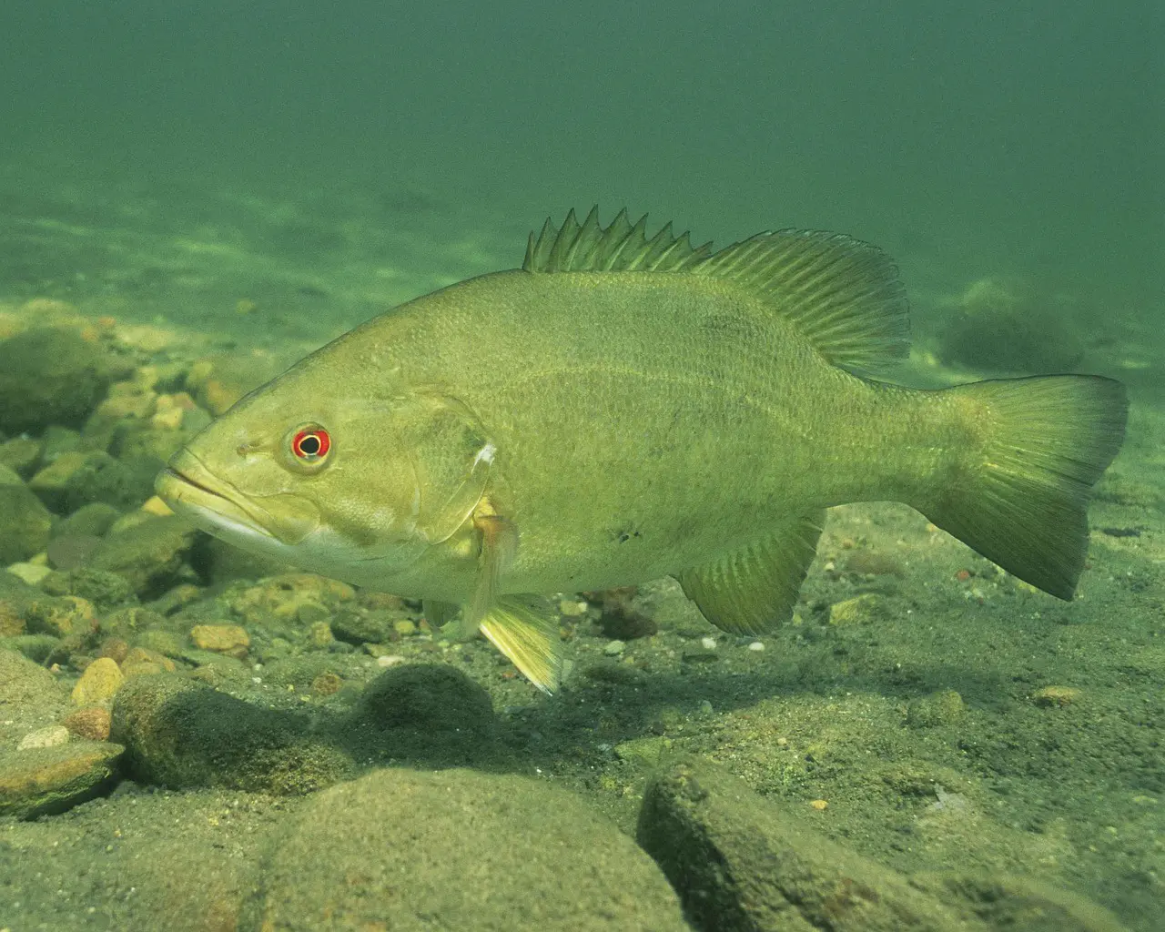
Largemouth Bass: The Still-Water Specialist
Largemouth bass are, at their core, a still-water fish. The U.S. Fish and Wildlife Service Habitat Suitability Index model for largemouth bass assigns a suitability score of zero to water velocities exceeding 20 cm/s — roughly 0.65 feet per second (Stuber et al. 1982). That is barely a walking-pace current, and it scores as completely unsuitable habitat.
Field data confirms this. In a radio-telemetry study on the Kissimmee River in Florida, current velocities were negligible — less than 6 cm/s — at a minimum of 92.2% of largemouth bass locations in any season. Zero measurable flow was recorded at 82.6% of locations (Furse & Rider 2012). The FAO biological synopsis describes largemouth bass as strongly associated with clear, vegetated lakes, ponds, swamps, and backwaters of pools and creeks — low-energy environments where current is minimal to absent (Heidinger 1976).
This does not mean largemouth bass ignore current entirely. It means they position themselves relative to current rather than in it. When current exists in a reservoir — from wind, generation, tributary inflow, or seasonal turnover — largemouth bass use current breaks, eddies, and slack-water zones as ambush points. They let the current deliver forage while expending minimal energy. The difference between a largemouth and a smallmouth in current is the difference between an ambush predator that uses current as a conveyor belt and a pursuit predator that hunts within the current itself.
Smallmouth Bass: The Current-Adapted Predator
Smallmouth bass evolved in flowing water and their physiology reflects it. In Michigan stream studies, smallmouth bass selected areas with reduced current — generally less than 15 cm/s — for holding positions, but they tolerated moderate velocities far better than largemouth (Rankin 1986). When researchers experimentally increased current velocity in study reaches, smallmouth bass reduced time spent in the habitat, foraged less, and moved more frequently. They did not abandon current — they adjusted their behavior within it.
The swimming capacity difference is significant. Critical swimming speed tests show that smallmouth bass can successfully ascend water velocities ranging from 40 to 120 cm/s (approximately 1.3 to 3.9 feet per second) with 82-95% success rates (Peake 2004). That capacity explains why smallmouth thrive in river systems, tailraces, and reservoir sections with significant current — environments where largemouth bass would be physiologically stressed.
Smallmouth bass in streams consistently select gravel-to-boulder substrate and avoid sand and silt (Rankin 1986). This is not just a substrate preference — it is a current preference in disguise. Gravel and boulder substrates create micro-scale current breaks, velocity shelters, and turbulent eddies at the fish's scale. A smallmouth holding behind a basketball-sized boulder in a riffle is doing exactly what a largemouth does behind a bridge piling in a reservoir — finding the low-energy zone adjacent to the food-delivery system.
Spotted Bass: The Intermediate Player
Spotted bass occupy the middle ground. Their habitat preference is typically described as intermediate between smallmouth and largemouth in warm, clear, moderate-gradient streams and rivers (Churchill & Bettoli 2015; Jenkins & Burkhead 1993). They tolerate more current than largemouth but seek less of it than smallmouth. In rivers, spotted bass position themselves in eddies and behind current breaks as ambush feeders. In reservoirs, they frequently suspend in open water at mid-depths — a behavior neither largemouth nor smallmouth commonly exhibit.
This intermediate tolerance makes spotted bass the most adaptable of the three species in reservoir environments where current conditions change throughout the day. When generation starts and current pushes through a reservoir reach, spotted bass may be the first to reposition and exploit the new conditions while largemouth retreat to slack water and smallmouth move into the strongest flow.
Reading Flow Data: USGS Gauges and What the Numbers Mean
The U.S. Geological Survey operates over 10,000 stream gauges across the country, measuring discharge in real time. Discharge — the volume of water passing a given point per unit of time — is reported in cubic feet per second (cfs). Understanding what those numbers mean for your lake turns raw federal data into fishing intelligence.
How Gauges Work
USGS hydrographers measure the cross-sectional area of a stream channel and the velocity of flow to calculate discharge (USGS Streamgaging Basics). But on a daily basis, automated sensors measure stage — the height of the water surface — and a site-specific rating curve converts stage to discharge. This is why some gauges report both stage (feet) and discharge (cfs) — they are measuring the same thing from different angles.
What Matters to Anglers: The Trend, Not the Number
Here is the critical insight: the absolute cfs number matters less than the trend. A river running at 1,500 cfs means very different things depending on whether it was at 800 cfs yesterday (rising — possible generation or rainfall) or 3,000 cfs two days ago (falling — stabilizing after a rain event). The same is true for stage.
For reservoir anglers, the rate of change matters most. Poff et al. (1997) identified five components of the flow regime that structure aquatic communities: magnitude, frequency, duration, timing, and rate of change. Every one of those applies to your fishing decisions. A rapid rise in discharge means turbines are running or significant inflow is occurring. A slow, steady decline means conditions are stabilizing. A flat line at base flow means the system is calm — and bass are likely positioned in their default, low-current patterns.
Practical Application
Use the same USGS gauge station every time you plan a trip to a given lake or river. Absolute numbers vary between stations due to tributary inputs, channel geometry, and gauge placement. But trends at a single station are highly consistent and predictable. If you know that your home lake fishes best on falling water at 1,200-1,800 cfs and poorly at 3,000+ cfs, you have a data-driven decision tool that most anglers lack.
The Lake Intelligence Report automates this analysis. It pulls real-time USGS discharge data and USACE pool elevation for your lake, calculates whether water is rising, falling, or stable, and factors that trend into every pattern recommendation. You do not need to learn how to read a hydrograph — but understanding what the data means helps you trust the recommendations.
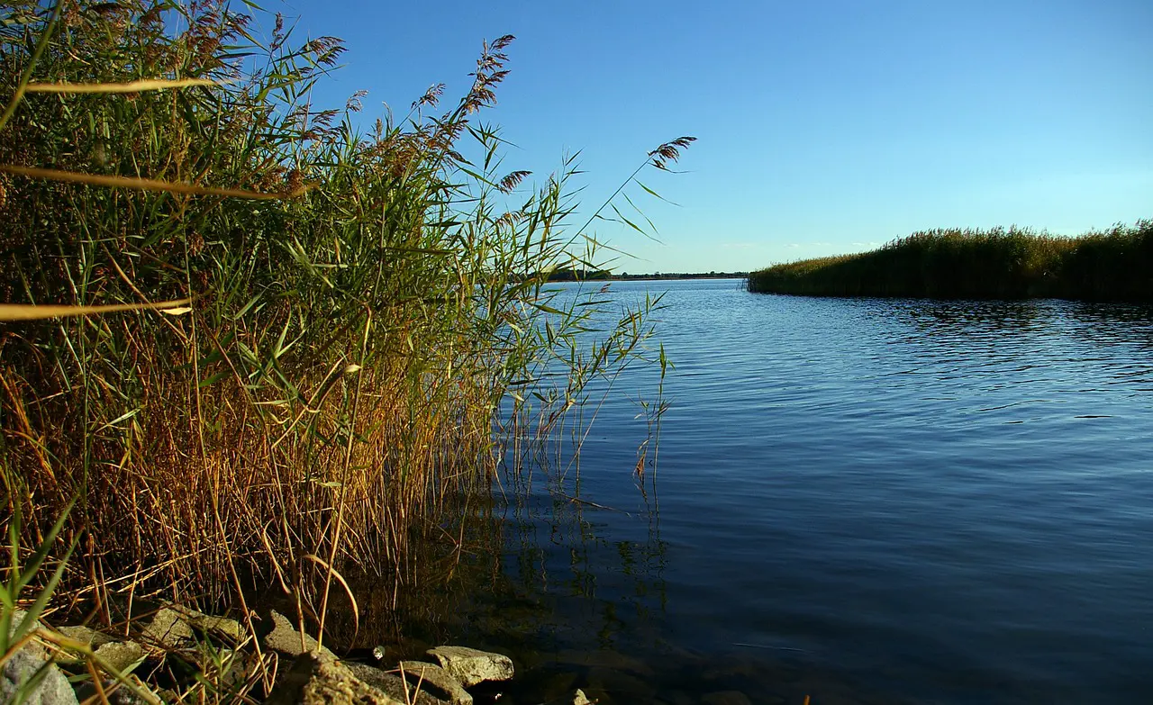
Reservoir Zonation: Where Current Lives in Your Lake
Reservoirs are not lakes. They are dammed rivers, and that distinction matters because it means reservoirs have a built-in current gradient that natural lakes lack.
Limnologists describe three functional zones along a reservoir's length (Kimmel & Groeger 1984; Wetzel 2001):
The Riverine Zone — the upper reservoir near the primary tributary inflow. Water here moves. Current is detectable, turbidity is higher, and the bottom substrate is coarser. This zone looks and functions more like a river than a lake. Smallmouth and spotted bass often dominate here. Largemouth bass, when present, hug the backwaters and off-channel sloughs.
The Transition Zone — the middle section where river current dissipates into the expanding reservoir basin. Nutrients from upstream meet adequate light penetration, making this zone often the most biologically productive part of the reservoir (Kimmel & Groeger 1984). Primary production peaks here. Forage populations concentrate. All three bass species can coexist in the transition zone because it offers both current and slack water in close proximity.
The Lacustrine Zone — the lower reservoir near the dam. Water is clear, deep, and essentially still except during generation or wind events. This is largemouth bass territory in its purest form — structure-oriented, vegetation-dependent, ambush-based fishing. Current in this zone is almost entirely artificial, generated by dam operations or wind.
Understanding which zone you are fishing changes how much weight you assign to current in your pattern. In the riverine zone, current might be the dominant variable. In the lacustrine zone, it might be nearly irrelevant unless the dam starts pulling water. The reservoir gradient is a real-world demonstration of the Variable Equation — the same variable carries different weight depending on where you are.
Dam Operations and Generation: The Artificial Current Switch
Most reservoir anglers have experienced the moment when the lake "turns on." Baitfish start moving. Bass that were scattered and inactive suddenly stack on current-oriented structure. What happened? The dam started generating.
How Generation Creates Current
Hydroelectric dams release water through turbines to generate electricity. The volume and timing of these releases follow a generation schedule that responds to power demand — typically peaking in the morning (6-9 AM) and evening (4-8 PM) when residential electricity use is highest. This creates a predictable, artificial current cycle in the reservoir.
The ecological impact is significant. Earley & Sammons (2018) studied Alabama bass and redeye bass in the Tallapoosa River downstream of Harris Dam and found that fish growth rates were higher at unregulated sites than at regulated sites in most species-reach combinations. Growth was inversely related to discharge variation in five of six species-reach combinations — meaning the more erratic the flow, the slower the fish grew. Hydropeaking — the rapid, cyclical release of water for power generation — disrupts invertebrate communities that form the base of the food chain and can scour benthic habitat that bass and their prey depend on.
Tailrace Fisheries
The tailrace — the water immediately below a dam — is a unique fishery where current is the dominant variable. Tailraces often hold all three species of black bass plus striped bass and catfish. Current velocity, dissolved oxygen, and water temperature in the tailrace are almost entirely controlled by dam operations rather than natural conditions.
Generation schedules are publicly available for most USACE and utility-operated dams. Knowing when water will be released — and how much — lets you plan your approach:
- Pre-generation (slack water): Bass scatter and relate to structure. Fish it like a lake.
- Early generation (rising current): Bass begin repositioning to current breaks. Feeding activity often increases as forage gets displaced.
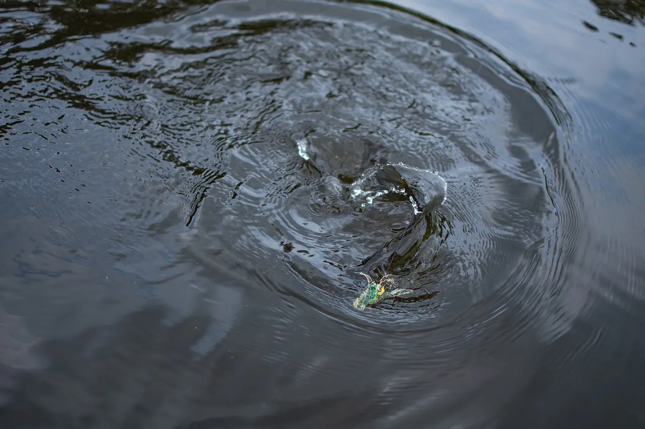
- Peak generation (full current): Bass are locked on current breaks, seams, and eddies. This is when the bite often peaks. Reaction baits — crankbaits, spinnerbaits, swimbaits — excel because bass are in ambush mode.
- Post-generation (falling current): Bass may continue feeding as current diminishes, then gradually return to structure-oriented patterns.
Current Breaks: The Ambush Equation
Any object in the water that diverts flow creates a current break — and a potential bass position. Bridge pilings, rock piles, points, fallen trees, channel bends, and even grass edges all function as current breaks. The physics are simple: current splits around an object, creating a low-velocity zone on the downstream side (the eddy) and accelerated flow on the flanks.
Bass use these differently depending on feeding state. When actively feeding, bass position on the upstream face of the break where they can intercept forage being swept downstream. When resting, they slip into the eddy behind the break where energy expenditure is minimal. Reading a bass's position relative to a current break tells you whether it is feeding or loafing — and therefore whether you should present a fast-moving reaction bait or a slow presentation that lingers in the strike zone.
Current, Dissolved Oxygen, and the Hidden Connection
Current does not just move forage around. It moves oxygen. This connection between flow and dissolved oxygen is one of the most underappreciated dynamics in reservoir fishing.
Moving water mixes with the atmosphere, picking up dissolved oxygen. Stagnant water in summer can become oxygen-depleted, especially below the thermocline where no photosynthesis occurs and bacterial decomposition consumes available oxygen (Wetzel 2001). When current enters a reservoir section — whether from tributary inflow, wind mixing, or dam generation — it brings oxygenated water with it.
French & Wahl (2018) demonstrated that juvenile largemouth bass at dissolved oxygen levels of 3.0 mg/L showed drastic decreases in prey consumption, handling efficiency, and time spent below the thermocline. Bass actively avoid water below 3-4 mg/L DO. In the Kissimmee River study, bass maintained home ranges in areas with DO consistently above 2 ppm and moved significantly greater distances when previous location DO dropped below that threshold (Furse & Rider 2012).
The practical implication: a wind-blown bank is not just pushing baitfish around — it is physically re-oxygenating that water, making it more hospitable. A tributary creek flowing into a reservoir during summer is not just bringing cooler water — it is bringing oxygen. Current and dissolved oxygen are variables that reinforce each other, and when they converge with appropriate temperature and available structure, they create the kind of multi-variable convergence point where bass stack up.
Seasonal Flow Patterns and Bass Movement
Current interacts with the seasonal calendar in ways that reshape bass positioning throughout the year.
Spring: Rising Water and the Spawn
Spring inflows from snowmelt and rainfall raise reservoir levels and push current through creek channels and across newly inundated flats. Rising water during the spawning period has a documented positive effect on bass recruitment. Sammons et al. (1999) found that largemouth bass spawning initiation in Normandy Reservoir, Tennessee was positively correlated with the first day water levels achieved full pool. When levels declined, adults quickly abandoned spawning grounds — and while they returned when water stabilized, the interruption reduced nest success. Ozen & Noble (2005) documented similar recruitment-hydrology relationships in a tropical reservoir, confirming that the pattern holds across geographic contexts.
This means spring current patterns carry disproportionate weight in the Variable Equation. The interaction between rising water (current pushing into shallow habitat), warming temperatures (triggering spawn readiness at 59-68 degrees F for largemouth; Heidinger 1976; Stuber et al. 1982), and newly available littoral habitat creates conditions where current is one of the primary drivers of bass positioning and reproductive success.
Summer: Stratification and the Current Refuge
By mid-summer, most reservoirs stratify into distinct thermal layers (Wetzel 2001). Current diminishes in the lacustrine zone as inflows decrease. Wind becomes the primary source of current in the main lake. Bass relate to thermocline depth and dissolved oxygen boundaries more than flow.
But in the riverine and transition zones, tributary inflows continue to push current and deliver cooler, oxygenated water. These inflow areas become summer refugia where bass can access both adequate oxygen and temperature relief — especially important for smallmouth bass, which prefer cooler water in the 68-82 degree F range (Jenkins & Burkhead 1993; Horning & Pearson 1973).
Fall: The Drawdown and Baitfish Migration
Many USACE reservoirs begin winter drawdown in early November, lowering pool elevation to create flood storage capacity for spring. This operational decision creates current — sometimes significant current — as water is released through dam outlets. Simultaneously, cooling surface temperatures and shortening days trigger baitfish migrations from the main lake into creek arms.
The combination of drawdown-related current, migrating shad, and falling water temperatures creates some of the best current-oriented fishing of the year. Bass follow baitfish into creek channels where current from both the drawdown and tributary inflow concentrates forage. Creek channel swings, points, and bluff walls in the transition zone become prime current-break positions.
Winter: Base Flow and Minimal Current
Winter brings the lowest flow conditions in most reservoirs. Generation may be reduced. Inflows are minimal in frozen or dormant watersheds. Bass metabolism slows in cold water, and their tolerance for current decreases further. Winter bass relate to deep structure with minimal current — bluff walls, standing timber, main-lake points — where energy expenditure is lowest.
The exception is tailrace fisheries, where generation may continue through winter and provide the only significant current and warmth below the dam. Tailrace bass fishing in winter can be exceptional precisely because current concentrates forage and creates localized conditions that are more favorable than the main reservoir.
Practical Applications: Putting Flow Data to Work
Before the Trip
- Check the USGS gauge for your lake's primary tributary and the dam discharge. Note whether flow is rising, falling, or stable — and what the trend has been over the past 3-5 days.
- Check the generation schedule if the reservoir has hydroelectric generation. Many USACE dams publish daily schedules or real-time turbine status online.
- Check pool elevation via USACE CWMS data. Is the lake above, at, or below full pool? Rising or falling? A lake 3 feet below full pool positions bass completely differently than the same lake at summer pool.
On the Water
- Identify the current gradient. Are you in the riverine, transition, or lacustrine zone? This determines how much weight current carries in your pattern.
- Find current breaks. Points, channel bends, bridge pilings, rock piles, grass edges — any structure that deflects or concentrates flow.
- Read bass position relative to breaks. Upstream face = feeding. Downstream eddy = resting. Adjust presentation accordingly.
- Factor in dissolved oxygen. Current areas — wind-blown banks, tributary inflows, generation-affected reaches — are likely to have better DO, especially in summer.
The Variable Equation
Current is one variable. How much weight does it carry? That depends on the season, the reservoir zone, the generation schedule, the species you are targeting, and what the other variables — temperature, pressure, structure, forage — are doing at the same time.
On a calm July afternoon in the lacustrine zone with no generation, current carries almost zero weight. Your pattern is about thermocline depth, dissolved oxygen, and offshore structure.
On a falling-water October morning in the transition zone with the dam pulling water for drawdown, current might be the single most important variable on the lake. Your pattern is about current breaks, channel swings, and intercepting baitfish being swept downstream.
The report weighs all of these together. The Lake Intelligence Report pulls real-time USGS discharge data and USACE pool elevation for your lake. It factors flow trends into every pattern recommendation alongside water temperature, barometric pressure, weather forecasts, solunar data, and web intelligence from recent fishing reports. Current is one of eight data sources — and the report knows when to give it heavy weight and when to dial it back. That is the whole point.
References
- Cherry, D.S., Dickson, K.L. & Cairns, J. (1975). Temperatures selected and avoided by fish at various acclimation temperatures. J. Fish. Res. Board Can. 32(4):485-491.
- Churchill, T.N. & Bettoli, P.W. (2015). Spotted bass. In Black Bass Diversity. AFS Symposium 82, pp. 35-41.
- Earley, L.A. & Sammons, S.M. (2018). Effects of hydropeaking operations on bass growth. River Research and Applications 34(8):918-926. doi:10.1002/rra.3333
- French, C.G. & Wahl, D.H. (2018). Influences of dissolved oxygen on juvenile largemouth bass foraging. Ecology of Freshwater Fish 27(2):559-569. doi:10.1111/eff.12370
- Furse, J.B. & Rider, S.J. (2012). Habitat use and movements of largemouth bass in Kissimmee River, Florida. Proc. SE Assoc. Fish & Wildlife Agencies 66:12-25.
- Heidinger, R.C. (1976). Synopsis of biological data on the largemouth bass. FAO Fisheries Synopsis No. 115.
- Horning, W.B. & Pearson, R.E. (1973). Growth temperature requirements for juvenile smallmouth bass. J. Fish. Res. Board Can. 30(8):1226-1230.
- Jenkins, R.E. & Burkhead, N.M. (1993). Freshwater Fishes of Virginia. American Fisheries Society.
- Kimmel, B.L. & Groeger, A.W. (1984). Factors controlling primary production in lakes and reservoirs. Lake and Reservoir Management 1(1):277-281.
- Miranda, L.E. & Bettoli, P.W. (2010). Large reservoirs. In Inland Fisheries Management in North America, 3rd ed. AFS, pp. 545-586.
- Ozen, O. & Noble, R.L. (2005). Relationship between largemouth bass recruitment and water level dynamics in a Puerto Rico reservoir. Lake and Reservoir Management 21(1):89-95.
- Peake, S. (2004). An evaluation of critical swimming speed for smallmouth bass. Trans. Am. Fish. Soc. 133(6):1472-1479.
- Poff, N.L., et al. (1997). The natural flow regime. BioScience 47(11):769-784.
- Rankin, E.T. (1986). Habitat selection by smallmouth bass in response to physical characteristics in a natural stream. Trans. Am. Fish. Soc. 115(2):322-334.
- Sammons, S.M., et al. (1999). Effects of reservoir hydrology on reproduction by largemouth bass in Normandy Reservoir, Tennessee. NAJFM 19(1):78-88.
- Stuber, R.J., Gebhart, G. & Maughan, O.E. (1982). Habitat Suitability Index Models: Largemouth Bass. USFWS FWS/OBS-82/10.16.
- Wetzel, R.G. (2001). Limnology: Lake and River Ecosystems. 3rd ed. Academic Press.